Field notes on water, land, weather and work across the American Southwest
LD 2 entries · Latest entry
Land and maps
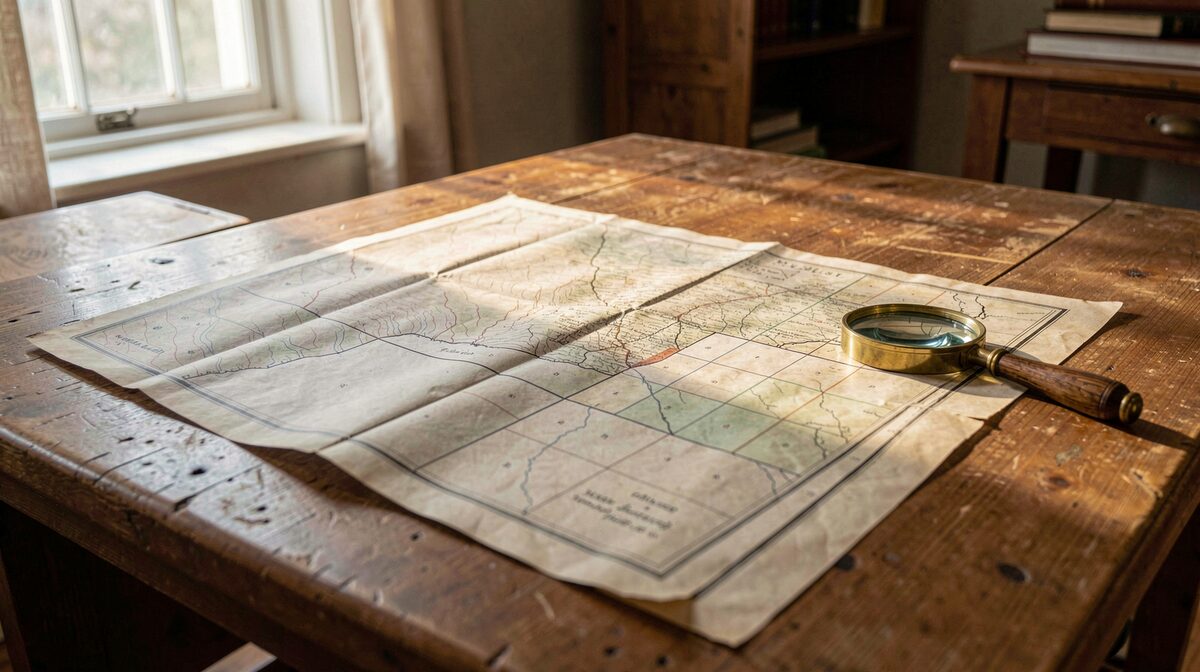
How the Southwest is read on paper and on the ground: land grants, surveys, historic maps, public land, soils, arroyos and the boundaries that decide who may build, graze or cross.
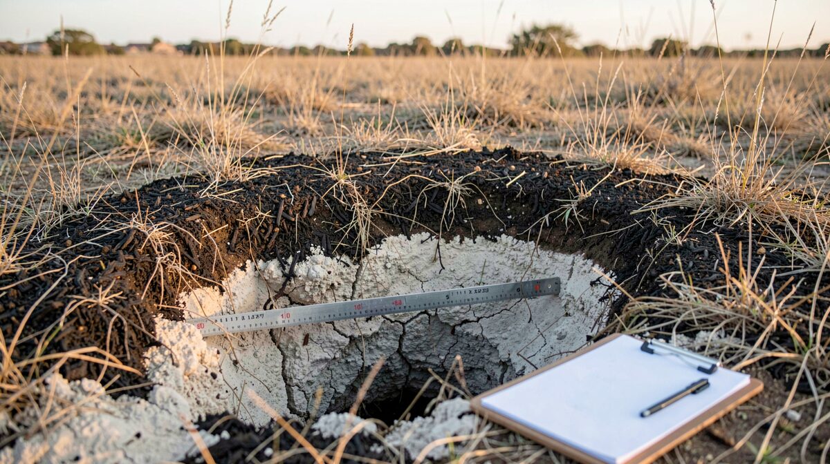
Plate LD-002 A shallow soil pit dug by hand in dry grassland, two feet deep, showing a dark organic layer over pale caliche, with a folding ruler laid across the exposed face and a clipboard resting on the ground beside it, low morning light from the east.